

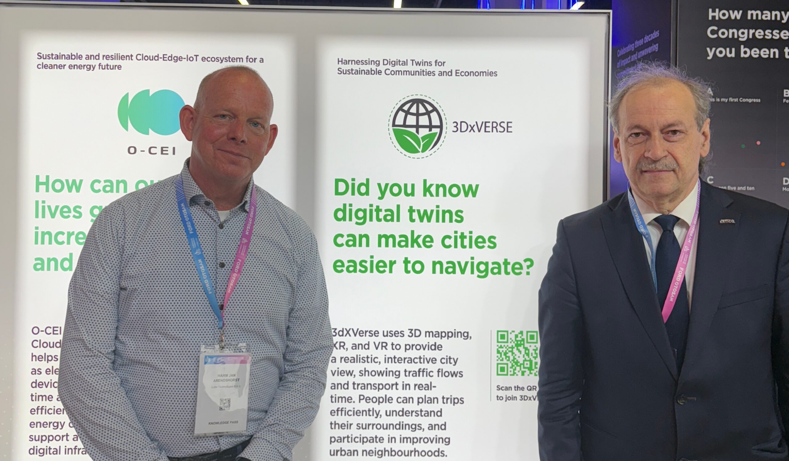
Interview: Harm Jan Arendshorst on Digital Twins, Trustworthy AI and Europe’s Digital Infrastructure Future
Harm Jan Arendshorst: Founder iLabs Technologies, Managing Partner iLabs Venture Partners
To begin, what do you see as the biggest mobility challenge today?
The biggest challenge is that multiple major developments are happening at the same time. Technology is advancing rapidly, especially with AI and AI agents, while geospatial technologies and international developments are also evolving quickly. At the same time, we are seeing new capabilities emerging from Earth observation and satellite technologies, such as InSAR data provided by Sentinel-1. Our challenge is to follow and integrate all these developments while continuing to work on existing projects such as 3DXVERSE. When we look at sustainability, living, travel, and mobility, there are many opportunities to build a digital technology stack based on software, digital trust, and shared infrastructure. This allows people, cities, and countries to better understand what infrastructure and technologies they are using: whether they depend on U.S. Big Tech, or whether they can rely on their own European technologies. That makes this a very interesting and important area today.
What role do digital twins play in this, especially 3DXVERSE?
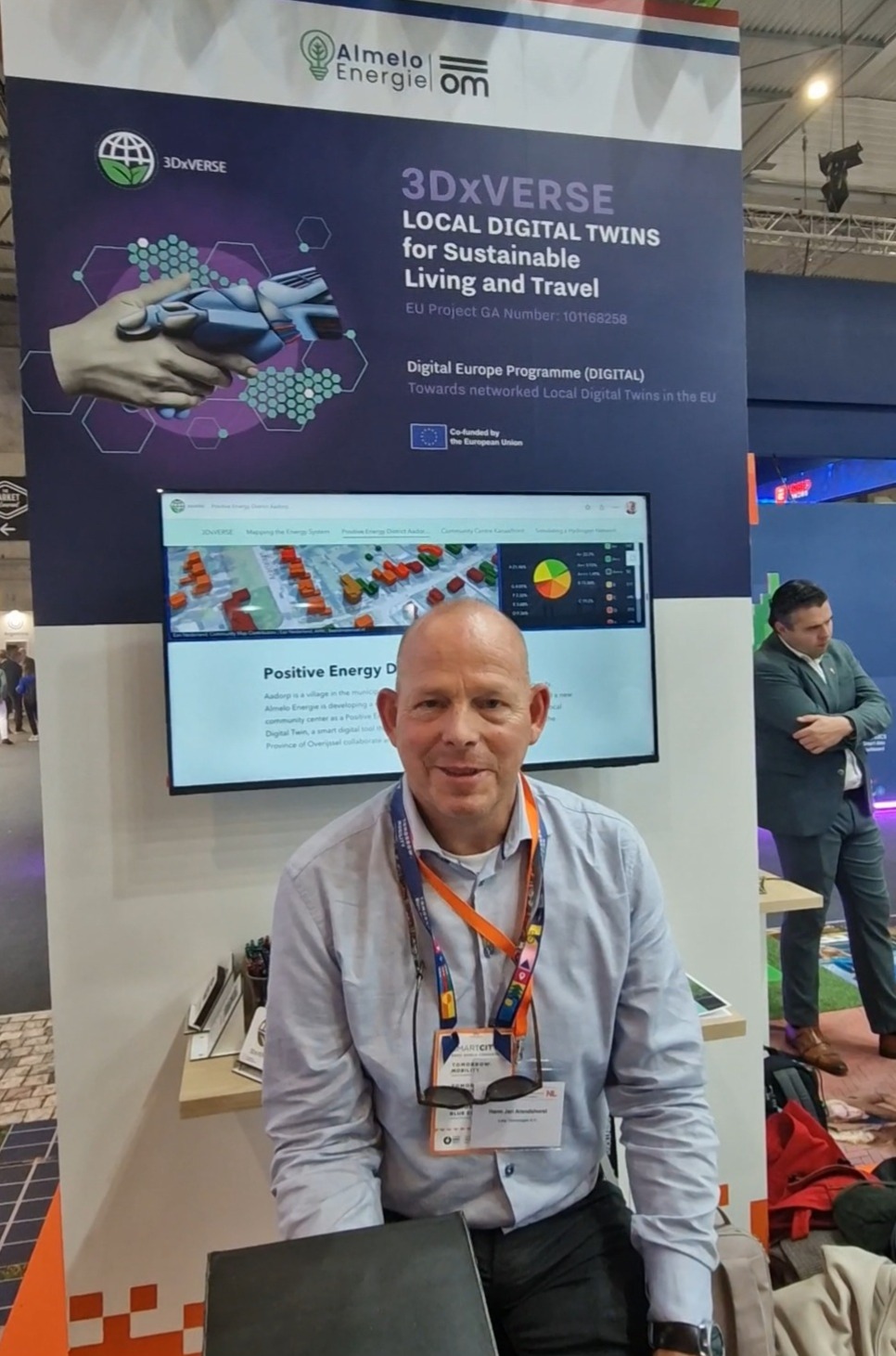
I think digital twins are a key tool. In the past, this field was very complex and often organized in silos or within large platforms such as SAP. Now, we are trying to build an open-source platform using Cesium. This means that we can create a new form of infrastructure-as-a-service that is available to every city and citizen at almost no cost. There is already a lot of open data available, but we also need to reconsider whether all data should remain open. For example, underground cables and gas pipelines can be made clearly visible through 3D glasses. That can be very useful, but in the wrong hands, it can also create risks. This needs to be assessed carefully. The same applies to drones. They can be used for mapping and for creating immersive spatial experiences, allowing people to feel as if they are walking through a certain area in real time. That is impressive and valuable. However, drones can also be used for disruption, incidents, or attacks. Therefore, we need to focus on positive and responsible use. In 3DXVERSE, we call this “dual use.” The technology may be the same, and the data sources may be the same, but the governance and trust frameworks need to be clearly defined. We need to rethink how we use these technologies responsibly.
What has already been implemented, and what is still in progress?
A lot is already out there. We started with SAM as a data sandbox and playground, where cities can begin testing their own use cases. We used it for Almelo, and later for the whole of the Netherlands. We also carried out interoperability testing for digital twins in the Netherlands, especially using mobility data. Adding a mobility data view took only about one week, and after that we were ready to use it. From there, we expanded into sustainability for urban areas. For example, cities can look at roads and analyze what types of traffic have been there over a certain period. They can assess whether the mobility patterns are green and sustainable, and they can also examine emissions. These features have already been implemented. What comes next is mainly about redefining the trust stack and governance. We are currently drafting and reviewing AI policies. We also need to decide which technologies to use for crypto, digital identity wallets, and the infrastructure itself. Another important question is where the system should be hosted. At the moment, we use Microsoft Azure, which is a Big Tech platform. We are now working on shifting toward European infrastructure. We are also exploring how to use EuroHPC for supercomputing, especially for the visualization power we need and for training models. One impressive example comes from Earth observation. European satellites continuously monitor the Earth using sensor technologies such as InSAR. This provides highly detailed information about the Earth’s current state and can also detect movement over time. Moving areas become visible, which can support early warnings for landslides or flooding. It is very interesting to see how this type of satellite data can be used in practice.
Data privacy is a major concern today. How do you gather and manage different types of data from different metrics?
We have been working on this very intensively. Standardization is the way forward, but it takes time. Instead of relying only on organizations such as ISO and ETSI, we have also been working with OASC. We presented this work at a conference. OASC has developed Minimum Interoperability Mechanisms, or MIMs, together with ITU. There are eight MIMs, and I have been helping to redefine them using new insights, including developments in AI and agents. The key question is how these technologies can be used responsibly. For example, if we are dealing with a data access layer or a data space protocol, can these be combined? These are the types of questions we are currently working on.
What are the main strengths and weaknesses of the project?
I think it is a very strong project and quite unique in terms of both space and time. Its main strength is its focus on citizens first, especially living conditions and livability. The project asks important questions: How healthy can people live in a certain area? How sustainable is that area? How can we create positive energy districts? We know that there is an energy crisis and a need to move away from oil dependency. But even before this became such a major issue, we were already working on models and scenarios for becoming more self-sufficient, so that we do not rely on external international energy supplies. At the same time, it is important to mention the weaknesses and risks, not only the positive sides. We have a monthly session focused on risk management, where we discuss existing risks as well as new ones. AI risks, for example, are becoming more visible now than before. Recognizing these risks is both a weakness and a strength. It is a weakness because there are still gaps and challenges, but it is also a strength because we are aware of them and actively working to improve. We know that we need to keep developing, identify the gaps, and manage the risks properly.
Thank you very much for the interview. Is there anything else you would like to add?
Only that it is important to keep looking critically at what we are doing. We need to understand what we are doing well, what we can do better, and where the risks are. That continuous improvement is essential for building trustworthy, sustainable, and useful digital infrastructure for cities and citizens.