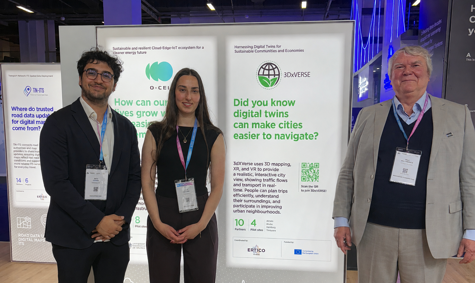
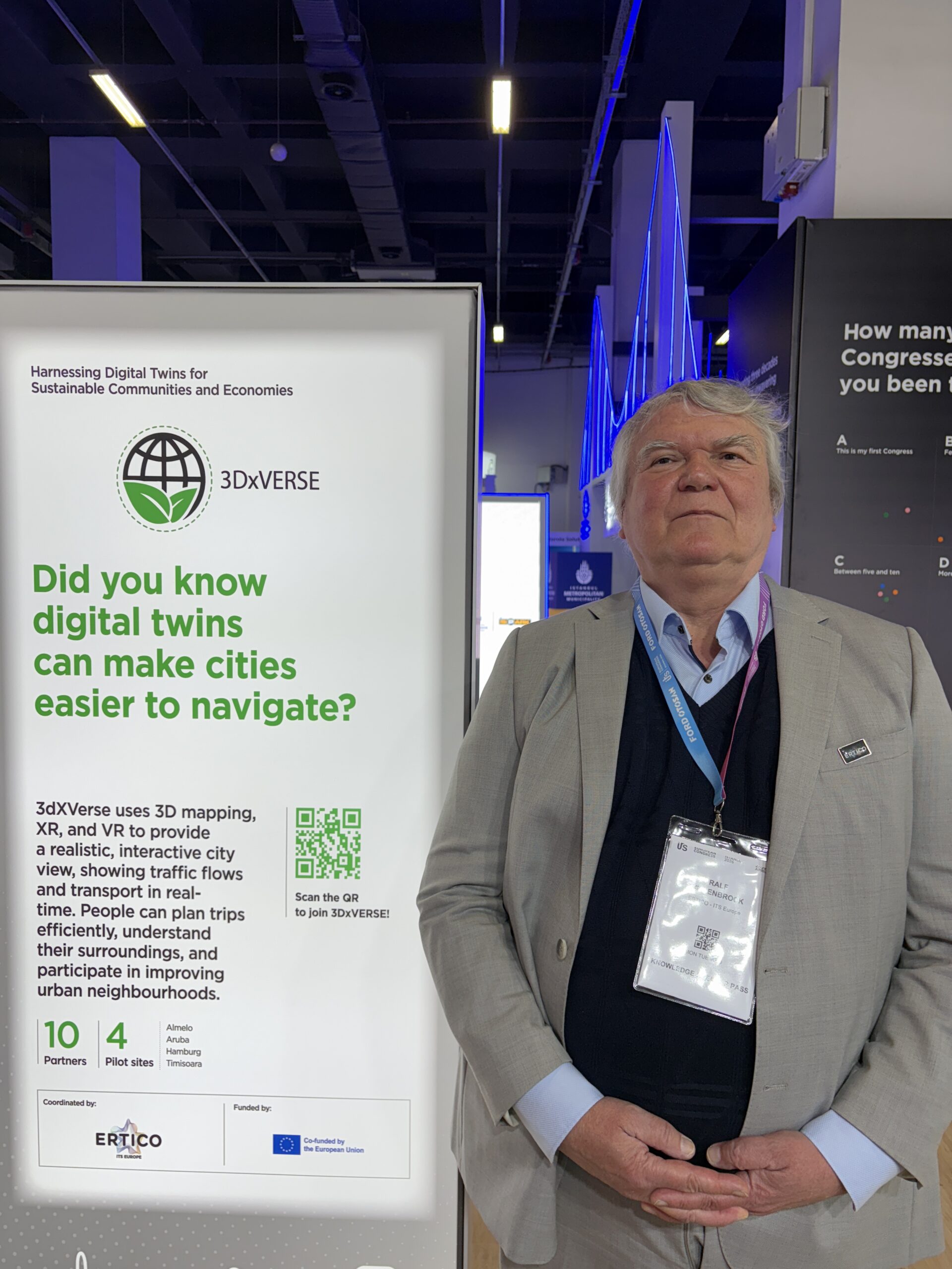
Interview: Ralf Willenbrock on Measuring Mobility, Digital Twins and Building Reusable Solutions for Europe
Ralf Willenbrock: Senior Project Manager Connectivity
Ralf holds a Diploma in Physics and Mathematics from the Free University Berlin, Germany. Before joining ERTICO in May 2024, he worked as I.T.S. Product Manager for Deutsche Telekom subsidiary T-Systems International GmbH, a member of ERTICO.
Ralf looks back on 25 years of experience in the development and deployment of telematics services in Germany, Europe and worldwide. In addition to bringing dynamic traffic information to in-vehicle and mobile navigation systems, this includes the use of satellite data for traffic and fleet management at large-scale events such as the 2006 FIFA World Cup and 2010 Shanghai EXPO.
As part of several EU-funded projects with ERTICO, Ralf has made an important contribution to standardising the monitoring of greenhouse gas emissions in logistics and road traffic. For this, Deutsche Telekom AG received the 2023 I.T.S. World Congress Industry Award. A German National, Ralf speaks English, Spanish, French and basic Chinese. He holds 25 patents and has published numerous scientific papers about Physics, Transport and Environment.
What is the biggest mobility challenge today for you?
The biggest mobility challenge today is measuring the impact of traffic flow and traffic management. Many intelligent measures can be applied to reduce total emissions, but to understand their real impact, a clear baseline is required. This means understanding measurements on a legal level, a financial level such as fees and charges, and a traffic input level, including how many trucks and passenger cars are using the road network. Only then is it possible to model total emissions and evaluate how traffic management measures affect the entire system. Any remaining emissions after applying these measures must still be offset.
After your measures, the remaining emissions have to be offset. Our session is about mobility, so: what role do digital twins play in this situation?
Digital twins were originally developed for airport planning because designing complex airport systems is extremely expensive. They help designers and decision-makers understand the effects of different options on the overall infrastructure. For example, they can simulate how many airplanes an airport can handle, whether the surrounding road infrastructure has enough capacity, and how infrastructure changes affect operations. Testing these scenarios first in a digital twin environment makes it possible to better understand the system through the model before implementing solutions in the real world. Today, data policies and technologies are advanced enough that, with only a few interoperable and transferable data sources, models can be reused across multiple locations and infrastructures. This interoperability is what makes digital twins especially valuable.
That makes sense in terms of infrastructure and project purpose. Let’s now talk about the pilot sites.
In the mobility pilot sites, significant progress has been achieved in field data collection. Using ISO 23795 standards, standardized approaches are being implemented so that data from different sources can be used by the algorithm to calculate carbon emissions and energy consumption. In Hamburg, around 50,000 kilometres of trips were collected from taxis and commercial vehicles, such as Amazon trucks, VIP shuttles and buses. This data was generated from different sources, including rooftop devices, smartphones and telematics data. In Timișoara, more than 15,000 kilometres of trips were collected from Aumovio company cars and Uber vehicles. In Aruba, besides the airport use case, supply chain data covering more than 5,000 kilometres was collected from 7.5-ton food delivery trucks bringing food to airport canteens and restaurants. All of this data will now be integrated into the digital twin environment for further analysis.
What still needs to be developed, and what has already been implemented?
What is still missing is the application of the same architecture already developed in the energy use case. That energy use case includes a highly advanced mapping and visualisation environment using professional tools such as Esri or Cesium. Once this architecture and mapping framework is implemented for mobility, it can be used to quantify emissions, measure the impact of different mobility and traffic management measures, and support the decarbonisation of infrastructure in the three pilot locations and at the airport of Aruba.
And one final question: what are the strengths and weaknesses of the project
A major strength of the project is its pioneering position within Digital Europe, developing digital tools that can be adapted and reused by other European countries and infrastructure operators. The key strength is interoperability, meaning the ability to reuse solutions and data across different contexts.
The main challenge is ensuring that strong political initiatives are actually adopted by the market. The market must continue and expand these initiatives over time. This is why the involvement of strong stakeholders is so important, including industry partners in Aruba and Aruba Airport, which is managed by Schiphol Group. These partners are already closely connected to the market, which is a positive sign. However, there is still a need to involve more stakeholders, particularly local governments and traffic management authorities.
Beyond this, port infrastructure and airport infrastructure are in many ways similar to urban infrastructure. The project therefore has the potential to expand into industrial areas as well, creating a much larger market instead of focusing on only one specific sector.